- RSS Longa
- Posts
- Google Earth A-Go-Go: Foshay Tower
Google Earth A-Go-Go: Foshay Tower
For July we're having fun with Google Earth. Here are the three great buildings in this neighborhood:
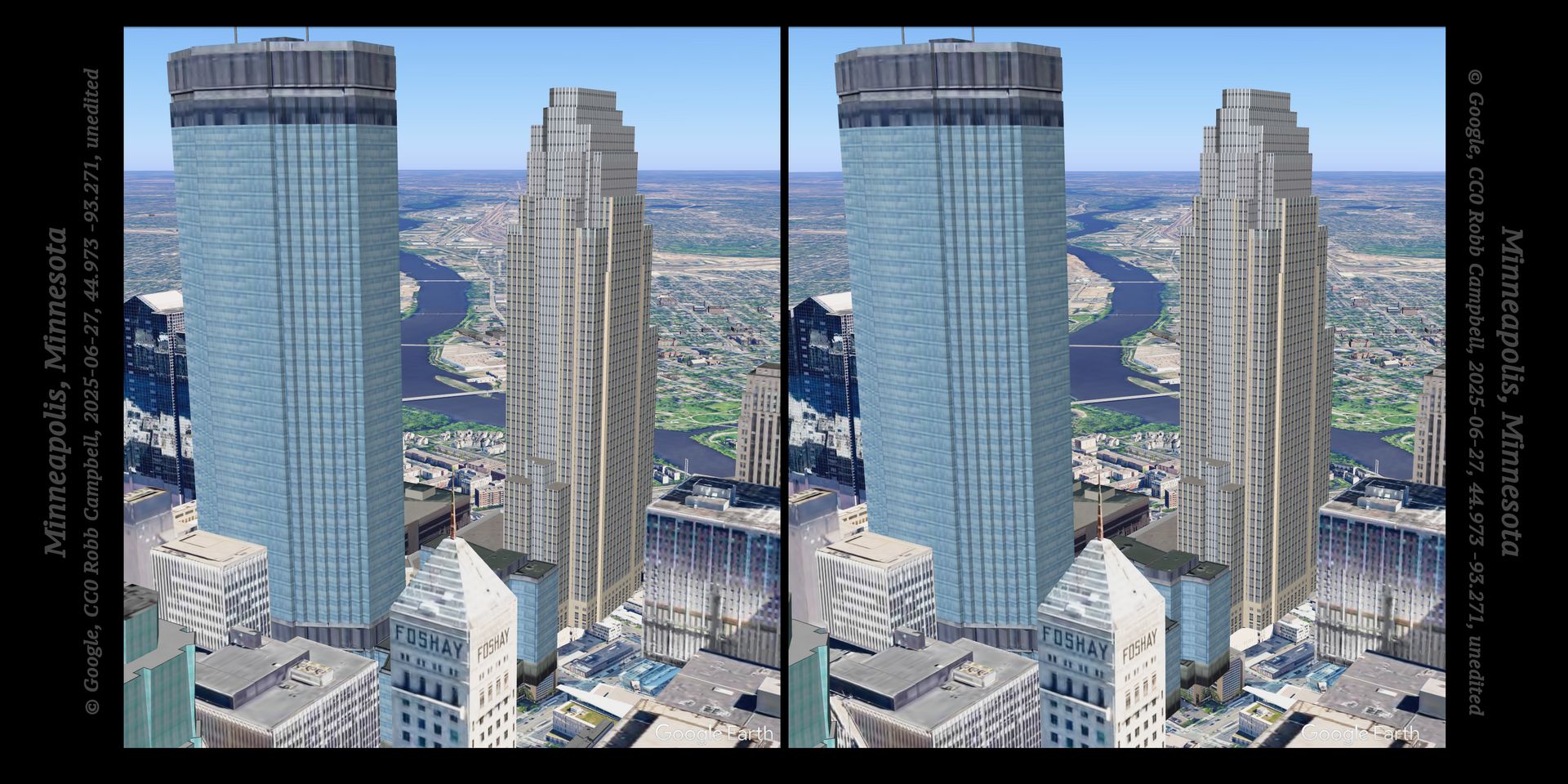
Click for the real image with an image map
Click here for the actual image with an image map. (You may want to press Ctrl - to zoom out.) Image maps are the second and great missing norm on the Web, and an obvious annotating form for landscape history.
And this image map is in stereo, which in all my years of doing this I've never seen. I realized that the map itself can be stereo too, the left and right slightly different. So here’s a demo; point at things for some fun facts and quiz questions. (Q on the left, A on the right.)
And yes, Foshay is a whole crazy story for another day. You watch, there will be a movie.
And the first is like unto it, stretchtext. (You can skip down to to “Things Fall Apart.”) That article also shows another way to annotate images, with icons. The Q&A is like Earthshots (skip to the bottom), which also used a lot of image maps. And here is How To View Stereopairs. I heard that one cause of Foshay's fall, besides fraud and Depression, was his bankers' revenge for the union labor that built the tower. Stretchtext: robbcampbell.com/ABHL-demo/Nemo/Nemo.html. Robert Wellman Campbell, "Google Earth A-Go-Go: Foshay Tower," RSS Longa, 24 July 2025, public domain via CC0 1.0. Inspired by a lovely June evening that almost-kinda-sorta hearkened me back to the John Hancock:

Reply